
안녕하세요? 드론 매핑 소프트웨어 '오픈드론맵(OpenDroneMap)'의 공식 웹페이지를 모아놓은 글입니다.
현재까지 9개 프로젝트가 진행 중이네요. 2014년 이후로 오픈 생태계로 진화를 거듭하는 프로젝트입니다.
ODM, WebODM, NodeODM, LiveODM, CloudODM, PyODM, ClusterODM, NodeMICMAC, FIELDimageR
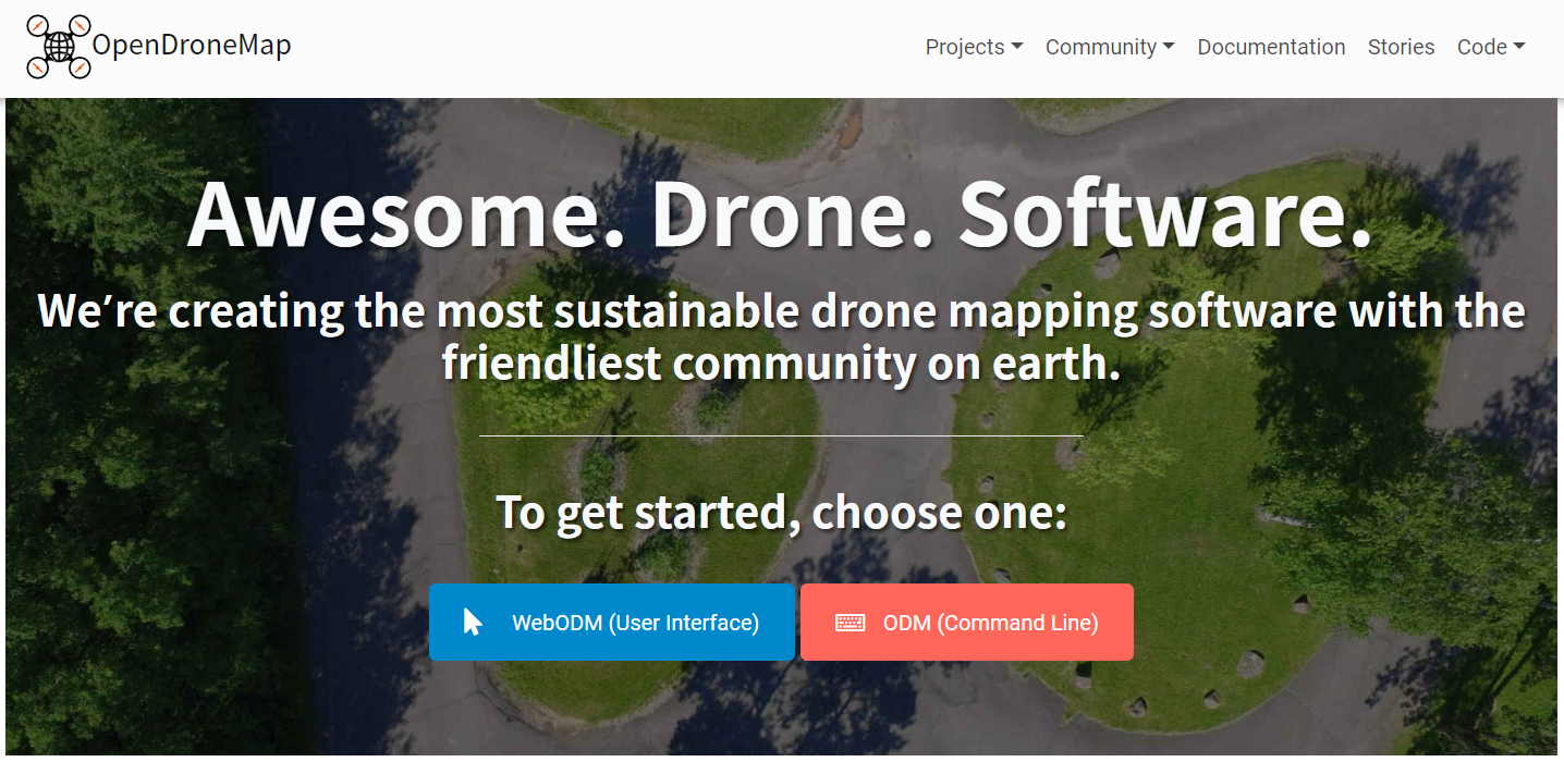
오픈드론맵(Drone Mapping Software - OpenDroneMap)
Drone Mapping Software - OpenDroneMap
OpenDroneMap is a free and open source ecosystem of solutions to process aerial data. Generate maps, point clouds, 3D models and DEMs from drone images.
www.opendronemap.org
오픈드론맵 커뮤니티 포럼(OpenDroneMap Community)
OpenDroneMap Community
Discussion, Questions, and Collaboration surrounding the OpenDroneMap toolchain
community.opendronemap.org
오픈드론맵 문서(OpenDroneMap's Documentation)
Welcome to OpenDroneMap’s documentation — OpenDroneMap 2.4.7 documentation
© Copyright 2020, OpenDroneMap
docs.opendronemap.org

#ODM
항공 사진을 처리하는 커맨드 라인 툴킷(command line toolkit)입니다.
2014년에 제작된 이래로 사실상 오픈소스 드론 영상 처리의 표준이 되었습니다.
Open Source Toolkit for Processing Aerial Imagery - OpenDroneMap
Open Source Toolkit for Processing Aerial Imagery ODM turns simple point-and-shoot camera images into two and three dimensional geographic data that can be used in combination with other geographic datasets. In a nutshell, it’s a program that takes image
www.opendronemap.org
#WebODM
드론 영상 처리를 위한 사용자 친화적이고 확장 가능한 '애플리케이션 및 API'입니다.
시각화, 저장 및 데이터 분석 기능과 함께 ODM에 대한 웹 인터페이스를 제공합니다.
WebODM Drone Software - OpenDroneMap
A free, user-friendly, extendable application and API for drone image processing. Create maps, point clouds, 3D models and DEMs from aerial images.
www.opendronemap.org
#NodeODM
ODM에 액세스하기 위한 경량의 REST API입니다.
또한 기능에 엑세스할 수 있는 최소한의 웹 인터페이스를 제공합니다.
REST API to Access ODM - OpenDroneMap
NodeODM NodeODM is a standard API specification for processing aerial images with engines such as ODM. The API is used by clients such as WebODM, CloudODM and PyODM. This repository contains a performant, production-ready reference implementation written i
www.opendronemap.org
#LiveODM
ODM, node-ODM, WebODM이 미리 설치된 부팅 가능한 DVD/USB ISO입니다.
Live CD/USB ISO with OpenDroneMap Pre-Installed - OpenDroneMap
Support covers the preparation, setup and usage of the USB/DVD ISO, not ODM, NodeODM or WebODM. We do have an awesome forum for ODM, NodeODM and WebODM questions. Our money-back guarantee covers the ISO usage process. If you can’t run OpenDroneMap on y
www.opendronemap.org
#CloudODM
클라우드에서 항공 영상을 처리하는 커맨드 라인 툴입니다.
Process Aerial Imagery in the Cloud - OpenDroneMap
Place your JPGs in a folder named “images” (for example /my/project/images), then simply run:
www.opendronemap.org
#PyODM
애플리케이션에 항공 영상 처리 기능을 추가하기 위한 Python SDK입니다.
Python SDK for OpenDroneMap - OpenDroneMap
PyODM For the latest documentation visit: https://pyodm.readthedocs.io The information below is for managing the repository. Running Tests python run_tests.py Will run the all doctests. You must have a NodeODM node running in test mode locally to run the t
www.opendronemap.org
#ClusterODM
사용하기 쉬운 수평 스케일링(horizontal scaling)을 위한 리버스 프록시(reverse proxy), 로드 밸런서(load balancer), 작업 추적기(task tracker)와 호환가능한 NodeODM API입니다.
ClusterODM - Horizontal Scaling for OpenDroneMap - OpenDroneMap
ClusterODM A reverse proxy, load balancer and task tracker with optional cloud autoscaling capabilities for NodeODM API compatible nodes. In a nutshell, it’s a program to link together multiple NodeODM API compatible nodes under a single network address.
www.opendronemap.org
#NodeMICMAC
MicMac에 엑세스하기 위한 Node.js App 및 REST API입니다.
WebODM 및 기타 프로젝트에서 사용되는 API를 노출합니다.
NodeMICMAC - OpenDroneMap
NodeMICMAC NodeMICMAC is a Node.js App and REST API to access MicMac. It exposes an API which is used by WebODM or other projects. This project is sponsored and developed by DroneMapper. This repository was originally forked from NodeODM, which is part of
www.opendronemap.org
#FIELDimageR
농업 현장 실험에서 정사 영상을 분석하기위한 R 패키지입니다.
FIELDimageR - OpenDroneMap
Made with ❤ by OpenDroneMap contributors Terms of Service
www.opendronemap.org
#Your Project
OpenDroneMap Project Application
This form can be used to request inclusion of an open-source project into the OpenDroneMap organization. Being part of the OpenDroneMap organization can offer you and your project: - Exposure to one of the largest communities of drone mapping users - Tight
docs.google.com